Shallow hazard surveys offshore Trinidad: what the methodology signals for frontier exploration
TDI-Brooks completes a 2D high-resolution seismic and geochemical campaign offshore Trinidad & Tobago — a reminder of how pre-drill risk workflows operate in active Atlantic basins.
THE NEWS
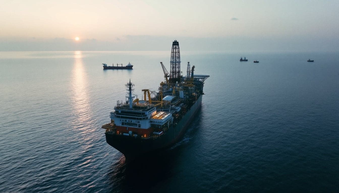
According to Offshore Engineer, TDI-Brooks has successfully completed a 2D high-resolution shallow hazard seismic survey offshore Trinidad & Tobago. The acquired and processed lines are intended to support de-risking activities ahead of drilling operations in the area. The survey combined seismic acquisition with geochemical data collection, reflecting a multi-discipline approach to pre-drill hazard assessment.
The source description indicates the work covers shallow hazard characterization — a standard but technically demanding step in any offshore drilling program, particularly in areas where seafloor and near-seafloor conditions introduce geomechanical or geochemical risk. TDI-Brooks, a company with established activity in marine geoscience services, executed both the acquisition and processing phases of the campaign.
No additional details regarding water depth, areal extent, client identity, or subsequent drilling schedule were available in the published source at time of writing.
WHY IT MATTERS
Shallow hazard surveys occupy a specific and often underappreciated position in the offshore exploration workflow. Before any MODU or jack-up can be positioned, operators must characterize the near-seafloor column for features that could compromise well integrity or rig stability — gas hydrates, shallow gas accumulations, active faulting, slope instability, and seafloor obstructions among them. A 2D high-resolution seismic survey, combined with geochemical sampling, is one of the more comprehensive approaches to this task, providing both structural imaging of the shallow section and direct indicators of fluid migration.
The geochemical component is particularly notable. Surface geochemical surveys — which typically involve collecting seafloor sediment or water column samples and analyzing them for hydrocarbon seepage signatures — serve a dual purpose: they contribute to hazard assessment by identifying active gas migration pathways, and they can also inform the broader exploration thesis by indicating whether a working petroleum system is actively charging structures in the area. The combination of seismic and geochemical data in a single integrated campaign reflects a maturing methodology that a number of service companies now offer as a bundled pre-drill package.
For Brazilian offshore professionals, the Trinidad & Tobago context carries indirect relevance. The southern Caribbean and the equatorial Atlantic margin share geological heritage — both sit within the broader framework of post-rift sedimentary systems that developed as South America and Africa separated. Brazilian operators and regulators have been attentive to equatorial margin exploration for some time, and the methodological choices made in analogous basins inform how pre-drill programs are structured domestically. The ANP's licensing rounds for equatorial margin blocks — an area that has attracted interest from multiple operators — place shallow hazard assessment at the center of any credible work program, particularly given the environmental sensitivity and the relatively limited drilling history in parts of that margin.
From a supply chain perspective, the capacity to execute integrated seismic-plus-geochemical surveys is relevant to Brazilian service companies and international firms operating in the country. The Brazilian market has historically relied on a mix of domestic and international geoscience service providers, and campaigns like the one TDI-Brooks completed offshore Trinidad illustrate the kind of technical scope that competitive tendering in Brazil's exploration rounds demands. Companies that can deliver processed, interpretation-ready shallow hazard packages — rather than raw data requiring separate processing contracts — tend to compress the pre-drill timeline, which matters when block license work commitments carry defined deadlines.
The low direct relevance of this specific event to Brazil should not obscure the methodological signal. High-resolution 2D shallow hazard surveys remain a standard deliverable in any responsible pre-drill program, and the fact that they are being executed in an adjacent Atlantic basin reinforces that exploration activity in the broader region has not stalled. For Brazilian operators with equity interests or technical partnerships in Caribbean or equatorial Atlantic projects, awareness of regional survey activity is part of normal competitive intelligence.
CONTEXT
Trinidad & Tobago has maintained a long history of offshore hydrocarbon production and continues to attract exploration interest given its established infrastructure and relatively mature regulatory framework. The country's offshore acreage sits in a geologically active setting where shallow hazard complexity — including thermogenic gas in the shallow section — makes pre-drill characterization particularly consequential.
More broadly, the offshore geoscience services sector has seen steady demand for shallow hazard work as operators in frontier and near-frontier areas advance their pre-drill programs. The integration of geochemical surveys with seismic acquisition reflects an industry preference for consolidated data sets that reduce the number of separate mobilizations required before a well can be spudded — a practical efficiency consideration that applies equally in Brazilian waters.